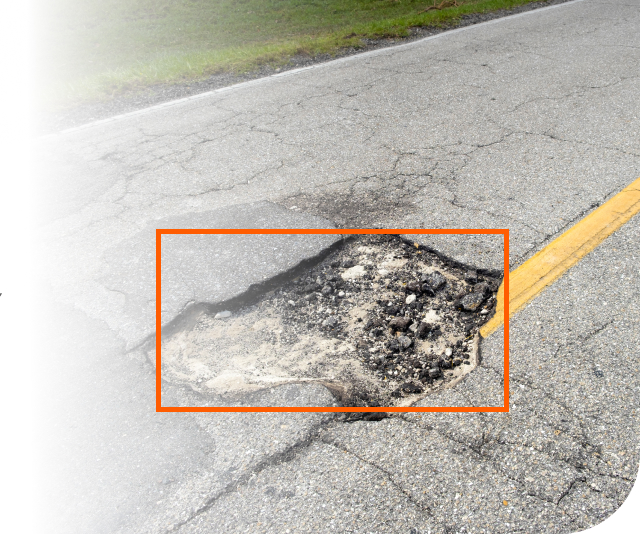
Diagnosis and analysis of road damage
The project introduces an automated system for detecting and analyzing road damage, such as potholes, manholes, and cracks, using two main modules: an image processing module and a road map database module. The image processing module detects and measures road damage from municipal road images, while the road map database records the damage’s location, dimensions, and volume. This information is accessible through a website or mobile app, and the system is specifically designed for New Jersey, USA.

Feature List
Portable Device To Use (Nvidia Jetson Nano)
Cloud-Based Main Processing / Edge-Based Preprocessing
Server-Client Architecture
Web Application For The End-User
Duration of technical development
8 Months
Count of concurrent users in peak
Based on the fully asynchronous architecture used in the microservices design, it is easily scalable. The current production server with limited resources can serve about 10,000 requests for the end user and 500 requests for GPU-based processing simultaneously.
Any certification or proof of product testing
We tested the product both with a standard test dataset and in real environments. Our system achieved up to 90% mAP in a laboratory environment and up to 80% in real environments. For more details,
a Tensor board document is available.
Tech Stack
AI: Python with TensorFlow Framework, OpenCV, BentoML Backend: Python with FastAPI Framework Data Base: MongoDB, Redis Frontend: Pure Web Application
Documentation
Yes, full documentation is available for use, development, and maintenance. If needed, it is provided in a separate attachment.
Maintenance and development team
Ali Sobhani, Senior Developer of Artificial Intelligence and Backend

